
13 Nov 2025 Data İzmir Open Data Platform’s Spatial Display Module Now Available
The Spatial Display Module of the Data İzmir Open Data Platform, created to contribute to evidence-based policy development and research processes for İzmir, is now available.
The new module, which adds a spatial dimension to data related to İzmir, allows data to be viewed on a map and provides a more robust analysis infrastructure for policy development, planning, research, and design processes.
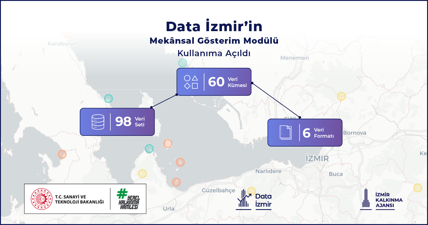
The spatial visualization, which contains 96 data sets in 6 different formats, is planned to be enriched with new data sets and developed with artificial intelligence integrations in the coming period.
You can access Data İzmir’s spatial visualization module via the link.